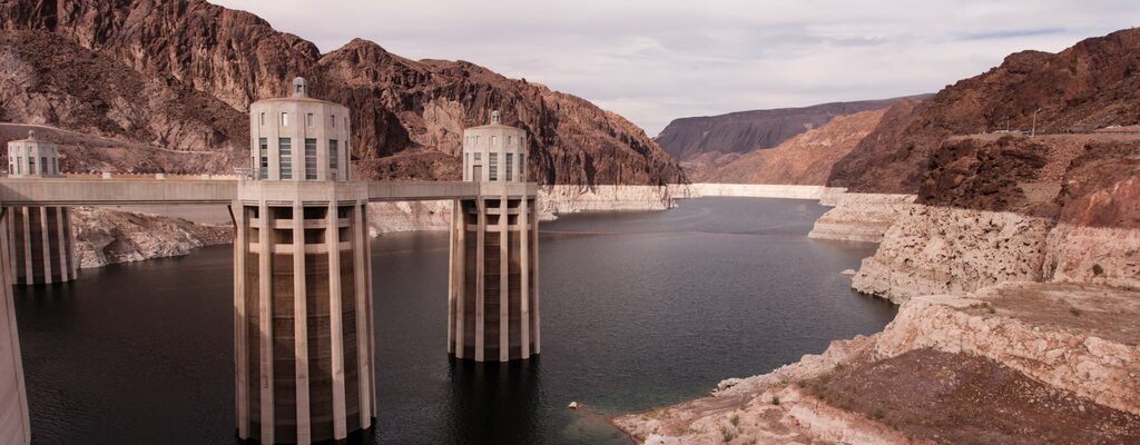
This is the raw measurement layer underneath every flood forecast. USGS operates a national network of automated gauges reporting stream height, flow, reservoir levels, precipitation and groundwater, and publishes the readings as they arrive. You can filter to your state and find the gauges on the waterways that actually affect you. The long record is what makes it powerful: current conditions are shown against historical context, so a reading becomes meaningful rather than just a number. For anyone living near a creek or river, identifying the two or three relevant gauges in advance turns a vague worry during a storm into something specific you can watch.
Get your Climate Resilience Plan! And share your saved resources with family, friends, and experts in your private community! Protect your protectors.
Get Your Climate Resilience Plan